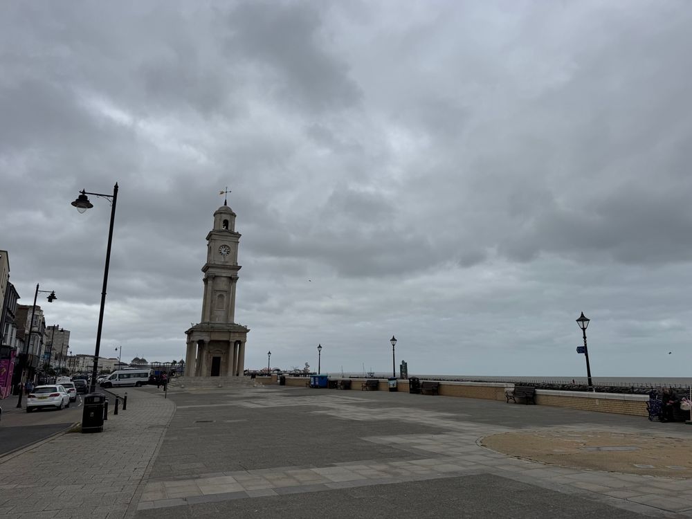

MetJam
@metjam.co.uk
Jamie. BSc Environmental Science Student at University of Reading. Avid weather nut from coastal Kent doing weather updates for the SE. Space weather & astronomy thrown in whenever that looks interesting too! metjam.co.uk
created July 29, 2023
1,213 followers 240 following 1,738 posts
view profile on Bluesky Posts
 Sander van der Linden (@profsanderlinden.bsky.social) reposted
In a new paper we show how misinformation derails support for public action on climate change by casting doubt on the scientific consensus (which undermines public opinion). Disinformers attack expert consensus because they know it works. Free: bpspsychub.onlinelibrary.wiley.com/doi/10.1111/...
 MetJam (@metjam.co.uk)
A filament eruption yesterday alongside the influence of a coronal hole may give way to G2 geomagnetic storm conditions depending on its arrival late tomorrow or early on Sunday morning. Full moon will not be helpful but there is still a chance of photographic aurora for sure.
 MetJam (@metjam.co.uk)
Horsham had the UK's heaviest ever hailstone fall back on this date in 1958, which weighed 190 grams - the same supercell also dropped a T4+ rated tornado that tracked over 24 miles although the hailstorm lasted for over 90 miles.
 MetJam (@metjam.co.uk)
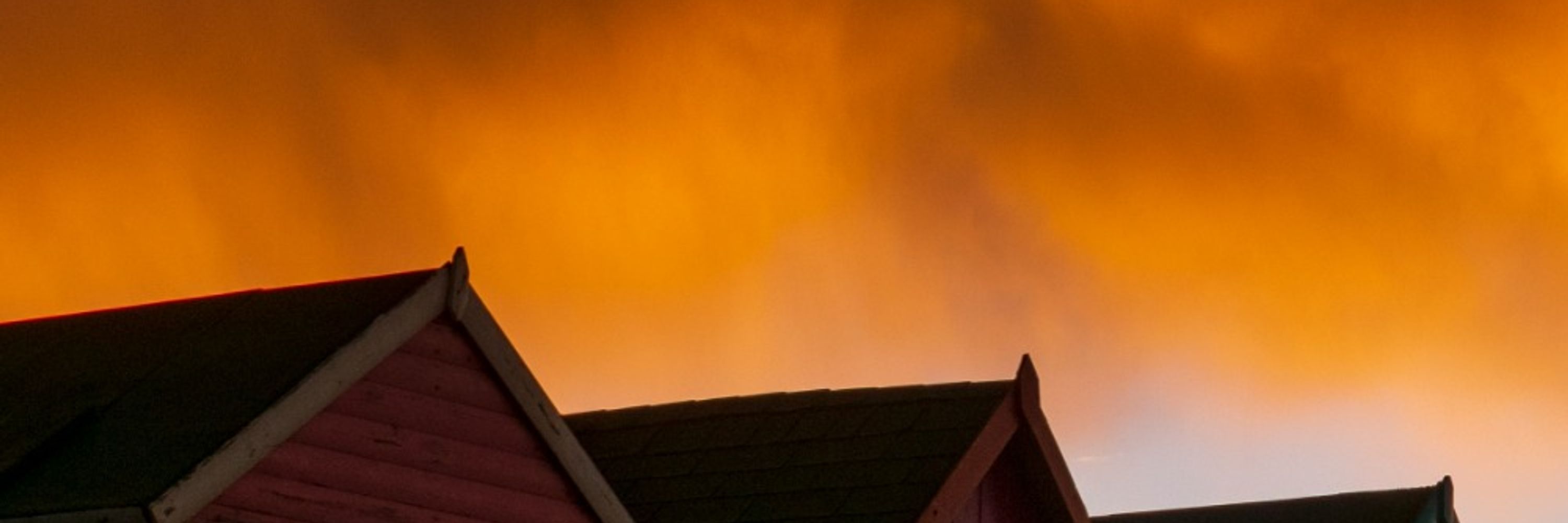
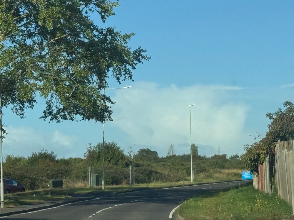
Lots of fluffy clouds around today 😁
 Climatologist49 (@climatologist49.bsky.social) reposted
According to ERA5 Reanalysis, this was the warmest summer on record for the United Kingdom. Seems bad. 🔥🔥🔥
 MetJam (@metjam.co.uk)
There's another chance of convective activity moving through again tomorrow morning. The environment doesn't seem to be as sheared as it was today, but there is still the risk of some strong wind gusts, hail, and a small risk of tornadoes forming (albeit small for any one place).
 MetJam (@metjam.co.uk)
Very active moving NE 👍🏻
 MetJam (@metjam.co.uk)
It’s safe to say it’ll be a little damp
 MetJam (@metjam.co.uk)
Clearer skies are moving in from the SW - thunderstorms could develop with a small risk of large hail and tornadoes forming
 MetJam (@metjam.co.uk) reply parent
www.lightningmaps.org and www.netweather.tv/live-weather...
 MetJam (@metjam.co.uk)
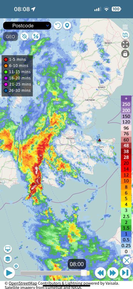
Thunder and lightning in this embedded thunderstorm - seems to be headed for landfall at Selsey in around half an hour.
 MetJam (@metjam.co.uk)
Keeping an eye on this lot coming in from the Channel Islands, where the greatest forcing currently exists as the left exit of the jet stream moves NE
 MetJam (@metjam.co.uk)
Autumn is here - haven’t missed you one bit 😂
 MetJam (@metjam.co.uk) reply parent
AROME has a very strong left exit of the jet stream moving through giving apt forcing as divergence aloft occurs - could be an interesting afternoon
 MetJam (@metjam.co.uk)
Tomorrow certainly carries a risk of tornadoes (albeit a small one for any location) along the particularly active cold front moving through and also post frontal convection that may occur. AROME soundings have very good shearing to them - any discrete cells will be key to watch.
 MetJam (@metjam.co.uk)
OH nelly
 MetJam (@metjam.co.uk)
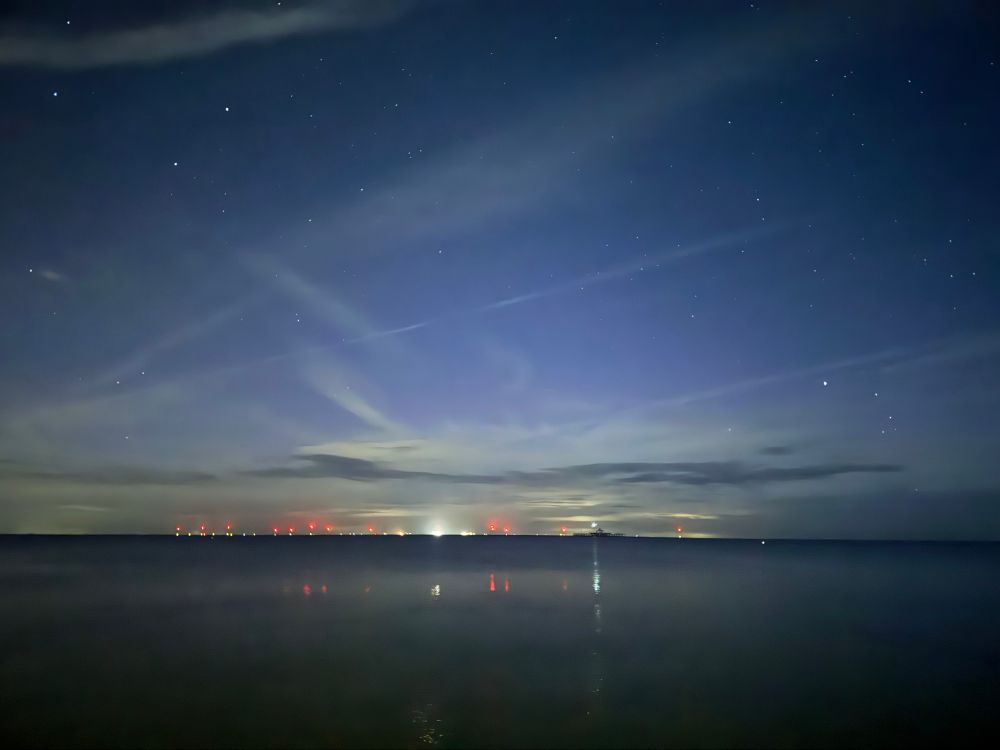
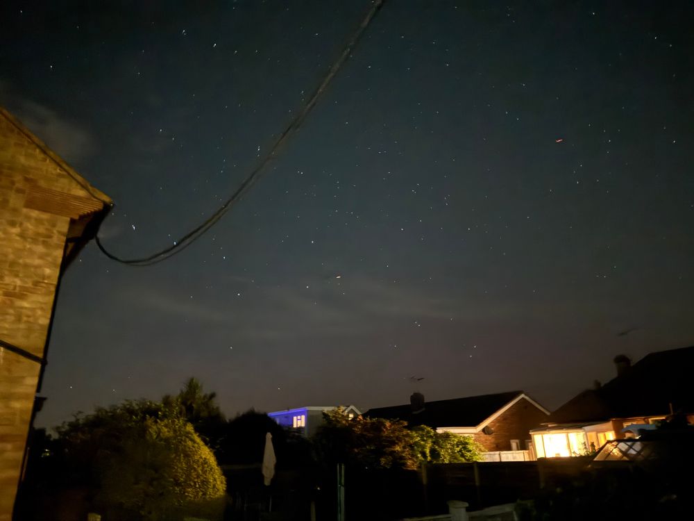
A little bit of aurora here tonight. 21:33 BST Herne Bay
 MetJam (@metjam.co.uk)
Aurora may be seen again tonight as Bz are more favourable than last night although it is steadily weakening - have a look if you can through the miles of cloud
 MetJam (@metjam.co.uk)
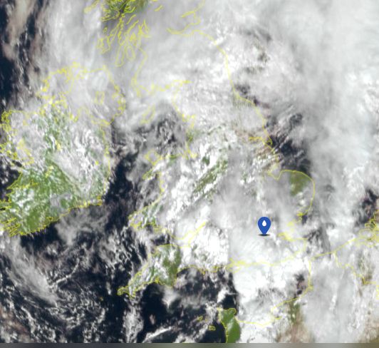
The fine rain is here
 MetJam (@metjam.co.uk)
There seems to have been a change in the structure of the CME - Bz is back further south and vibrant rays are coming back. Let's see what happens but these substorms may push it to G3 🤞
 MetJam (@metjam.co.uk)
Aurora rays in outburst at 00:25 BST here in Herne Bay today.
 MetJam (@metjam.co.uk)
Aurora outburst with a potential meteor too - simply tremendous 👍🏻
 MetJam (@metjam.co.uk)
Aurora outburst with a potential meteor too - simply tremendous 👍🏻
 MetJam (@metjam.co.uk)
Nice substorm outburst going on at the minute - could faintly see red to the eye and have some nice red showing up on camera now 👍
 MetJam (@metjam.co.uk)
Weak aurora here in Herne Bay 00:19 BST
 MetJam (@metjam.co.uk) reply parent
A touch of aurora in Scotland
 MetJam (@metjam.co.uk)
Sheath isn’t doing too much at the minute in terms of aurora - will update if anything changes 👍🏻
 MetJam (@metjam.co.uk)
The current view at 54°N in Russia - will be using this a lot in the coming hours to judge how things are going. Sheath should impact Earth in about 20 minutes or so so should see some activity flare up.
 MetJam (@metjam.co.uk)
CME shock front has arrived - stay tuned for further updates folks 👍
 MetJam (@metjam.co.uk)
A good CME arrival would be nice right around now 🤞
 MetJam (@metjam.co.uk)
Summer 2025 was the warmest on record for large swathes of the UK with a mean UK temperature of 16.1°C - beating 2018's temperature of 15.76°C. www.metoffice.gov.uk/about-us/new...
 MetJam (@metjam.co.uk)
A little bit wet.
 MetJam (@metjam.co.uk)
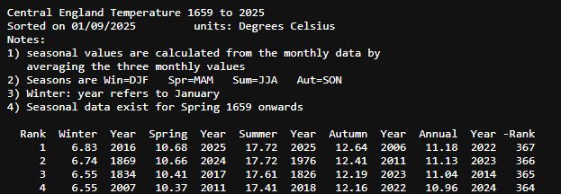
A summer CET of 17.72°C ties 2025 with 1976 as being joint hottest on record in the Central England Temperature series that started back in 1659.
 MetJam (@metjam.co.uk)
Squally segment rolling through London at the minute.
 MetJam (@metjam.co.uk) reply parent
In simple terms, there's a chance of photographic aurora (and perhaps even visual) tonight if it all lines up correctly. The south west and far east seem to be best placed for clearer skies.
 MetJam (@metjam.co.uk)
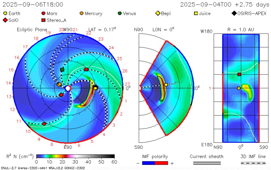
We are awaiting the arrival of a CME from the Sun tonight based on what the majority of models are saying (HUXt is an outlier with an arrival just after 16 UTC tomorrow). The Met Office's model goes for an arrival at 20 UTC (21 BST) with a chance of G2/G3 geomagnetic storm.
 MetJam (@metjam.co.uk)
First day of autumn and it’s looking like a showery day - there’s some nice shower clouds around 😁
 MetJam (@metjam.co.uk) reply parent
Central England Temperature - uses 3 stations that roughly covers (as the name suggests) Central England and extends all the way back to 1659 (although stations have been changed over the many years) as it's been homogenised, etc.
 MetJam (@metjam.co.uk)
Based on provisional data available, the CET is very close to beating the 1976 record. It is currently sat at 17.73°C for the season and 1976's record is 17.72°C; it will require today's mean CET temperature to be ≥17°C for it to be totally beaten & ≥16°C to be joint 1st.
 MetJam (@metjam.co.uk) reply parent
May see some aurora may not
 MetJam (@metjam.co.uk)
The Met Office has issued a G4 geomagnetic storm watch for 12 UTC on Monday and lasting until 09 UTC on Wednesday.
 MetJam (@metjam.co.uk) reply parent
Eyes peeled
 MetJam (@metjam.co.uk)
The University of Reading HUXt model goes for a CME arrival on Tuesday night at 17:50 UTC.
 MetJam (@metjam.co.uk) reply parent
Good stuff - hopefully the HUXt engine is fired up 😂 @mathewjowens.bsky.social
 MetJam (@metjam.co.uk)
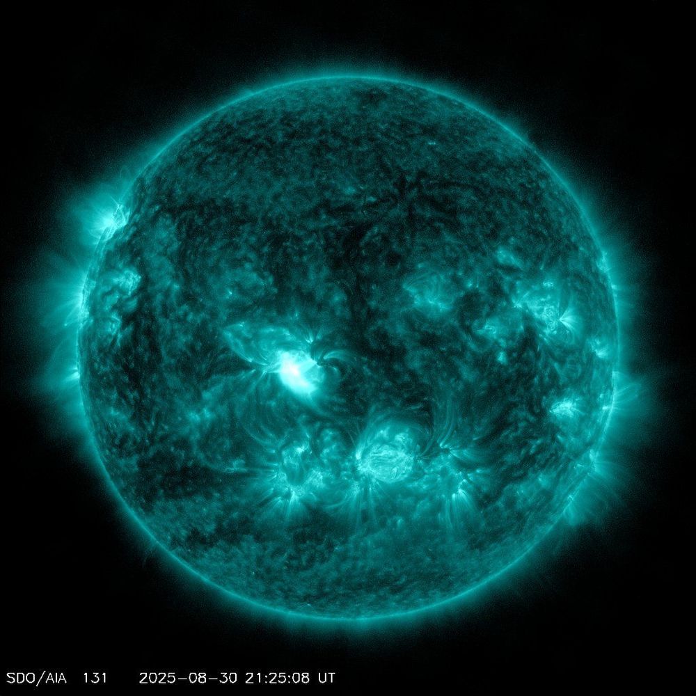
Recent M2.76 flare from the centre disk of the Sun looks to have fired a CME that could be partially directed at Earth based on current imagery that is coming through. The potential for photographic aurora may be there in 3-4 days time, let's await the models. 😁
 MetJam (@metjam.co.uk)
Rain is falling all around me
 MetJam (@metjam.co.uk)
Wet.
 MetJam (@metjam.co.uk)
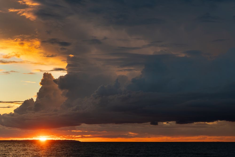
A picture from sunset last night - you can faintly see mammatus to the top right of the picture.
 MetJam (@metjam.co.uk)
Cheeky lightning flash from a Live Photo
 MetJam (@metjam.co.uk)
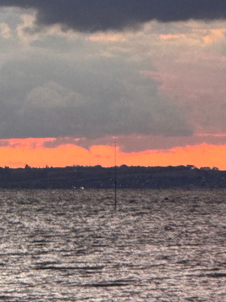
A cheeky funnel cloud over Sheppey perhaps?
 MetJam (@metjam.co.uk)
Lots of IC lightning in the cloud from the storm near Southend - not seen any CGs (until I’m just typing this post now 🤣)
 MetJam (@metjam.co.uk)
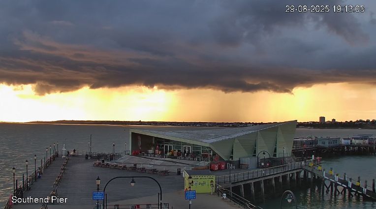
Stunning view from Southend of the incoming storm there
 MetJam (@metjam.co.uk)
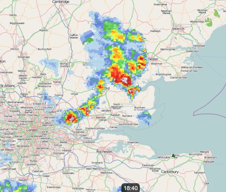
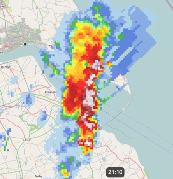
Nice storm complex rattling through Essex at the minute
 MetJam (@metjam.co.uk)
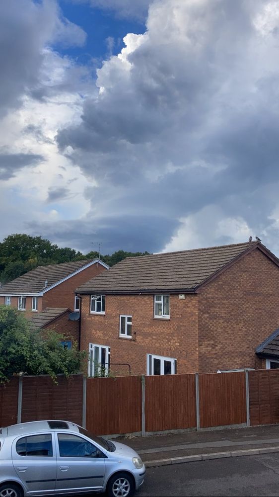
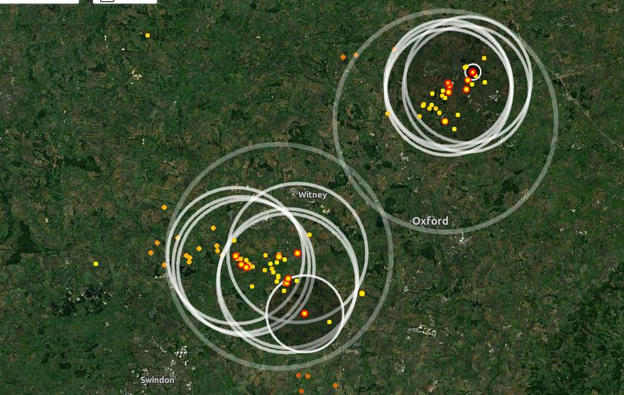
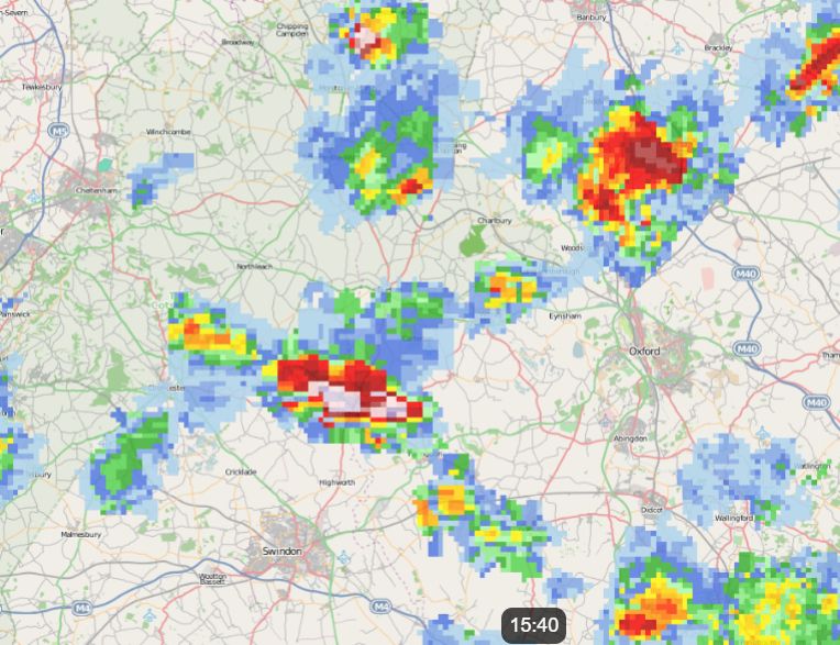
Very impressive updraft on the cell near Reading not too long ago (pinched entirely from Netweather: community.netweather.tv/topic/101831...)
 MetJam (@metjam.co.uk) reply parent
Those showers are rather cheeky
 MetJam (@metjam.co.uk)
The showers behind the earlier rain are packing quite the punch, wouldn't be too surprised if there's some hail underneath that core.
 Met Office - weather and climate (@metoffice.gov.uk) reposted
What does the last weekend of meteorological summer have in store? Find out and ask questions on the the Weather studio Live on YouTube at 12:15 pm👇
 MetJam (@metjam.co.uk)
Very heavy squally rain going through Brighton headed NE - a small risk of a waterspout or associated tornado with it as it goes through but very heavy rain and strong wind gusts are certainly more of a risk!
 MetJam (@metjam.co.uk)
Positively moist in the SW tonight, will head towards the SE and arrive tomorrow morning.
 MetJam (@metjam.co.uk) reply parent
Oh balls - knew I'd have missed something
 MetJam (@metjam.co.uk)
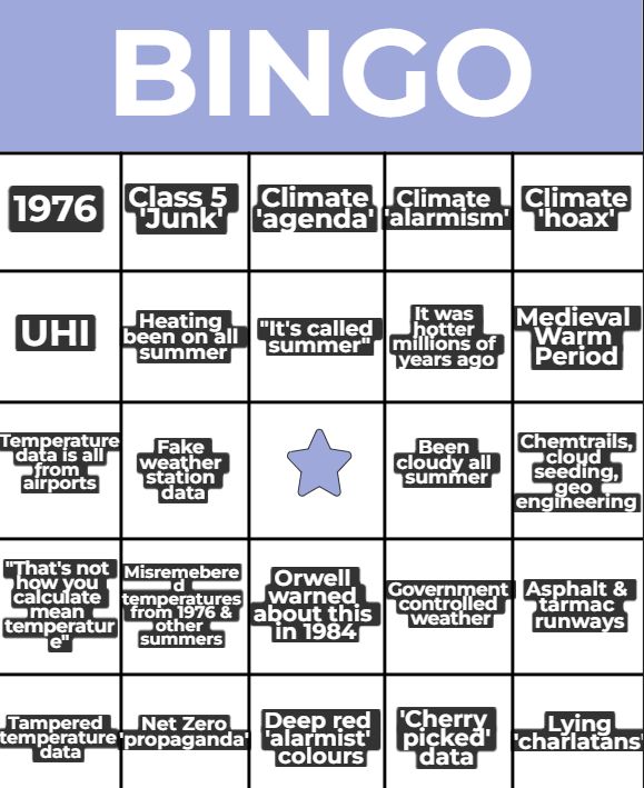
I've made a nice bingo card for everyone to tick off when the Met Office post comes out on Monday, confirming that it has been the hottest summer on record. A bit of fun for all the family 😁
 MetJam (@metjam.co.uk)
The south coast stretching into parts of Sussex/Surrey looks to have the highest probability of rainfall totals >20 mm tomorrow on the AROME ensemble suite - it's looking like a grim morning.
 MetJam (@metjam.co.uk)
Rain warning is out for the SE - rarer than a pot of gold in recent months
 MetJam (@metjam.co.uk)
I know nothing about football but not even the ongoing thunderstorm can help United
 MetJam (@metjam.co.uk) reply parent
Data at Manston stopped in July 1940 & resumed in May 1941 so sadly can't be certain of August 1940's rainfall total. Margate & Ramsgate also stopped observations briefly in July 1940 as well
 MetJam (@metjam.co.uk)
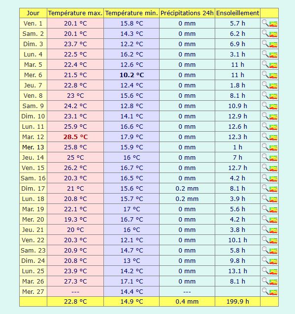
It has been a very dry August so far in East Kent. Manston is only on 0.4 mm - this would likely be the driest August on record at Manston since 1940 if it were to continue but the weekend is likely to spoil that statistic.
 MetJam (@metjam.co.uk) reply parent
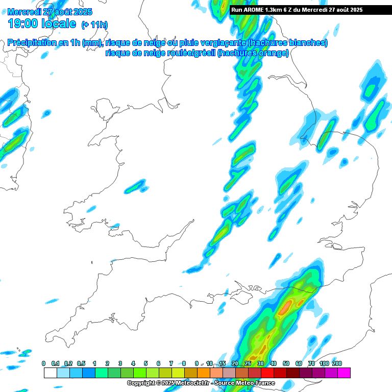
This frontal rain hugging the south coast tonight doesn't seem to make it very far inland before dying off, but it's worth mentioning in case of any sporadic lightning. UKMO seems to gun for it a bit more.
 MetJam (@metjam.co.uk)
The occluded front moving through the SE on Friday looks like it may bring the most widespread significant rainfall for the first time in a while. It looks to be squally in nature with a small risk of embedded thunder and lightning and showers following in afterwards.
 MetJam (@metjam.co.uk) reply parent
A little damp
 MetJam (@metjam.co.uk)
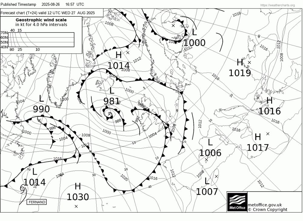
An occluded front moving through tomorrow seems to be heralding the return of unsettled conditions to the UK. There's a small risk of tornadoes along this front, perhaps less so on the lightning front, as profiles are pretty saturated, but it's certainly not impossible.
 MetJam (@metjam.co.uk)
Swirly swirl
 MetJam (@metjam.co.uk)
Wales did manage to hit 30°C yesterday, with 30.1°C at the manual station at Colwyn. This is the 17th day this year that the UK has exceeded 30°C.
 MetJam (@metjam.co.uk)
“Provisional Met Office statistics show that summer 2025 will almost certainly be the warmest summer on record. At present, mean temperature is tracking at 16.13°C. The current record is 15.76°C, set in 2018." www.metoffice.gov.uk/about-us/new...
 MetJam (@metjam.co.uk)
26C here in Herne Bay ahead of the cold front - can see it gradually moving closer from the west.
 MetJam (@metjam.co.uk) reply parent
www.railwayherald.com/railtours Railtours do creep up here as well so you can use that to narrow it down a bit
 MetJam (@metjam.co.uk)
It looks like there'll be a fairly stark temperature contrast between places in the cold front and places just to the east of it tomorrow. 27C in East Kent whilst London sits at 19C.
 MetJam (@metjam.co.uk) reply parent
www.realtimetrains.co.uk/service/gb-n... Realtimetrains is your friend on that front - can see all the workings that might come through. This particular one was from Ashford
 MetJam (@metjam.co.uk)
Met up with Mr Chailey Stowe for a brief steam train rendezvous at the station this afternoon - been a stunning day 👍🏻
 MetJam (@metjam.co.uk) reply parent
Yeah I’d probably say so
 MetJam (@metjam.co.uk)
25C here in the Bay today - must be the busiest day of the year.
 MetJam (@metjam.co.uk)
Good evening to have a Desperados - have a good one everyone 👍🏻
 MetJam (@metjam.co.uk) reply parent
ECM only has 7 mm falling by the end of the month.
 MetJam (@metjam.co.uk)
Looking at the weather stations here and near Whitstable and many have no rainfall at all this month - an exceptionally dry August thus far although may change next week as it turns more unsettled.
 MetJam (@metjam.co.uk)
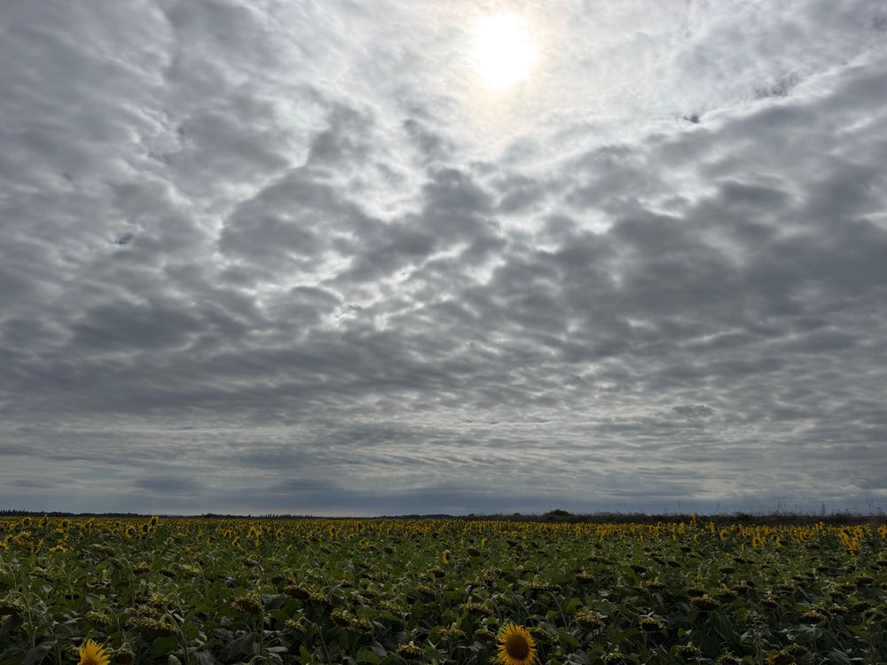
Finally visited the sunflower field at Reculver this afternoon - looks like a pretty good place for compositions although I’ve definitely missed the peak of them as there’s a fair few dead ones now 😂
 MetJam (@metjam.co.uk) reply parent
Close enough 😄
 MetJam (@metjam.co.uk)
It’s always good to incorporate a thrashy diesel into your walks - sets off the rest of the day well. 😁
 MetJam (@metjam.co.uk)
The best bit about The Wombats last night was definitely the wombats that came on stage 😂
 MetJam (@metjam.co.uk)
The only thing I notice at Dreamland this evening
 MetJam (@metjam.co.uk) reply parent
Been tempted to stick on my jumper during the evening but not giving into Big Autumn just yet
 MetJam (@metjam.co.uk)
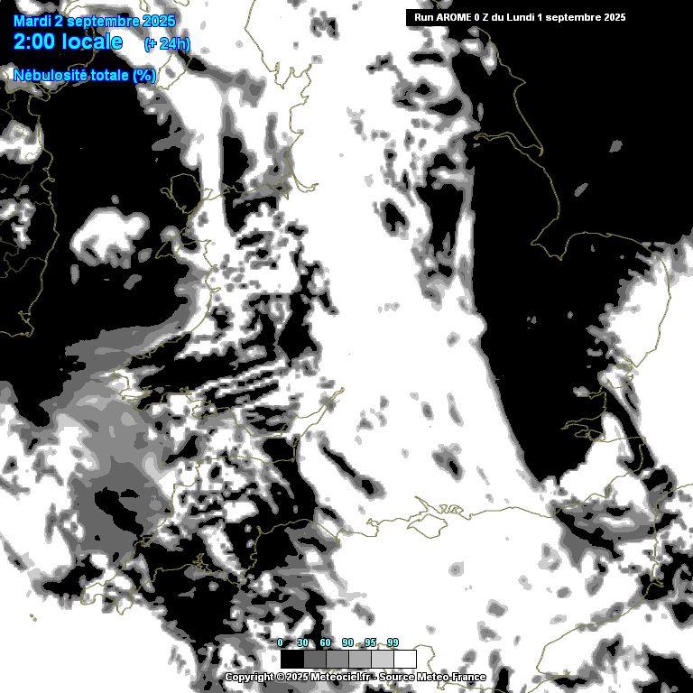
North Sea cloud gap hasn’t been able to quite make it to Herne Bay today - tomorrow is looking sunnier 👍🏻
 Vincent Ledvina (@vincentledvina.bsky.social) reposted
Something is VERY angry on the Sun’s farside. A monster CME just erupted, and you can see the cloud in coronagraphs now. Unlike the prominence eruption from yesterday, this CME is fast! It is not Earth-directed, but if it was, we could be preparing for a G4-G5 geomagnetic storm.
 Ed Hawkins (@edhawkins.org) reposted
The moment that weather forecasting began climatelabbook.substack.com/p/the-storm-...
 MetJam (@metjam.co.uk) reply parent
Don't tempt me
 MetJam (@metjam.co.uk) reply parent
For all the time I’ve lived on the coast I’ve never actually seen a crab that big
 MetJam (@metjam.co.uk) reply parent
About £3
 MetJam (@metjam.co.uk)
19.6°C maximum here in Herne Bay today - the coolest day here since the 8th of June, which had a maximum of 18.7°C.
 MetJam (@metjam.co.uk)
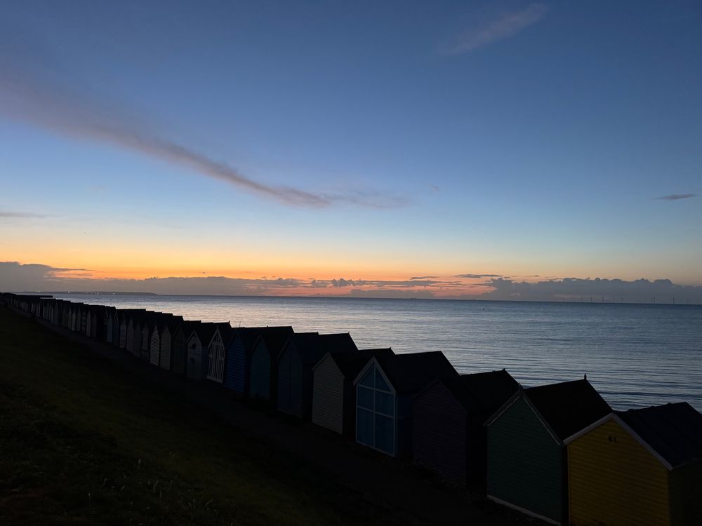
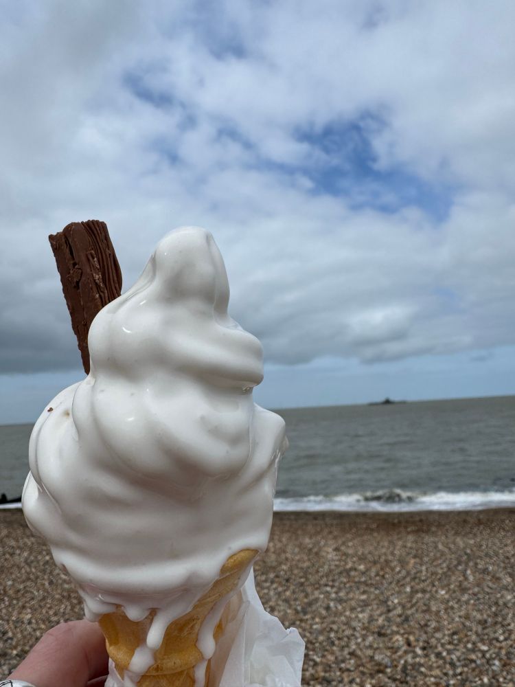
The cloud won’t stop me once again wasting all my money on ice creams and having them melt on me in the walk to the beach for this picture 😆
 MetJam (@metjam.co.uk)
Autumngust is here once again - 18C and blowing 30 mph
 Dr Rebecca Emerton (@rebeccalize.bsky.social) reposted
Excited to share our new app Thermal Trace! 🔗 thermaltrace.climate.copernicus.eu Thermal stress = health impacts of exposure to extreme thermal conditions (heatwaves, cold spells) Use Thermal Trace to monitor heat & cold stress globally (five days behind real time) & explore changes over time 🥵🥶
 MetJam (@metjam.co.uk) reply parent
Us youngens are invading 👀
Sander van der Linden (@profsanderlinden.bsky.social) reposted
