avatar
Alan Godfrey Maps @alangodfreymaps.bsky.social

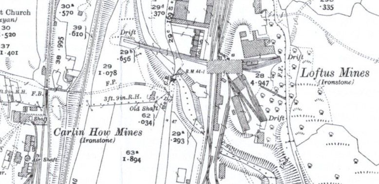
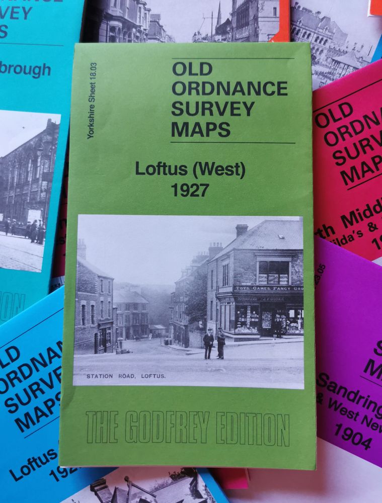
*New Map!* #Loftus (West) 1927 www.alangodfreymaps.co.uk/yorks01803.htm Today’s image is a ‘miner’ spoiler of our much bigger & more intriguing #map. The wider view shows that the North East wasn’t just heavy industry, it was people & countryside, cinemas and sport, fishing and woodlands. 1/

A sample of our larger printed map, which is of a higher quality of course. The image shows detail of Carlin How Mines and Loftus Mines, close together and busy with buildings, roads, rail lines and more.
aug 21, 2025, 5:06 pm • 1 0

Replies

avatar
Alan Godfrey Maps @alangodfreymaps.bsky.social

The villages and towns of #Redcar & #Cleveland are historically linked to mining, mainly Ironstone & Alum. When those industries left, the area was soon linked with decline - a tragedy as the area is a beautiful one, filled with warm & hospitable people, pretty villages and a stunning coastline. /2

Loftus (West) 1927 map, a lovely green colour with a contemporary photograph of the village.
aug 21, 2025, 5:06 pm • 0 0 • view